
Leon County ZIP Areas Explained
Leon County is served by ten principal residential delivery areas, plus several codes reserved for campuses, post-office boxes, and state agencies. A Leon County ZIP code directory therefore needs to separate ordinary delivery areas from institutional codes. The broad descriptions below are practical starting points drawn from local records research. They are not exact postal boundaries, and an address should still be checked with USPS before a records search.
| ZIP | General area | Delivery use | Local boundary note |
|---|---|---|---|
| 32301 | Downtown, east-central and southeast Tallahassee | Tallahassee delivery | Core government and business areas |
| 32303 | Northwest and central-north | Tallahassee delivery | City and unincorporated fringe |
| 32304 | West Tallahassee and university-adjacent areas | Tallahassee delivery | Dense student-area addresses |
| 32305 | South Tallahassee and southern Leon | Tallahassee delivery | Extends beyond the city line |
| 32308 | Northeast-central and medical corridor | Tallahassee delivery | Municipal and suburban mix |
| 32309 | Northeast Leon | Tallahassee delivery | Substantial unincorporated coverage |
| 32310 | Southwest and west rural Leon | Tallahassee delivery | Large rural area |
| 32311 | Southeast, SouthWood and nearby areas | Tallahassee delivery | 2020 ZCTA population of 21,218 |
| 32312 | North Tallahassee and northern Leon | Tallahassee delivery | Crosses city and unincorporated land |
| 32317 | East Leon and Buck Lake fringe | Tallahassee delivery | Mostly suburban and rural edge |
| 32306, 32313 | Florida State University | Institutional or unique | Not ordinary neighborhood polygons |
| 32307 | Florida A&M University | Institutional or unique | Campus mail differs from nearby streets |
| 32314–32316, 32318 | Tallahassee special use | PO box or special | May lack a useful residential ZCTA |
| 32399 | State of Florida agencies | Unique government use | Not a resident ZIP |
The university and state-government codes are especially easy to misread. A filing with 32399 may identify an agency address, while 32306, 32307, or 32313 can point to campus mail. It does not prove that a named person lives in that postal area. Likewise, the special-use range may describe a box rather than a home delivery point. Treat each result as a mailing clue, then match it to a full street address in the proper official record.
Leon County Institutional ZIP Codes
Florida State University, Florida A&M University, and state government shape Leon County ZIP geography in ways that most counties do not share. Campus mail systems and agency filings create valid codes that do not behave like neighborhood zones. The state-capital setting also explains why a business or public filing may show 32399 even when the person connected to it lives elsewhere.
Use the name of the institution as context. For a business officer or registered agent, the official Sunbiz search can be searched by street or ZIP. Its result describes a filing address, not a household. Campus and agency records should be read with the same care.
The Tallahassee neighborhood association database shows how community areas are recorded separately from institutional mail codes.
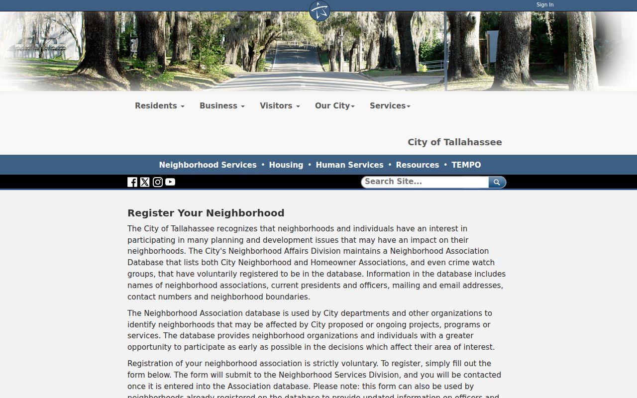
The database can add association names, officers, and contact details, but its voluntary boundaries are not postal lines or resident rosters.
Search Leon County Property by ZIP
The Leon County Property Appraiser search provides the strongest official ZIP filter for parcel work. Open More Options after entering any useful name, address, parcel ID, or subdivision. All fields are optional, and the ZIP control permits more than one choice. Results identify parcels and owners, not all residents at an address.
| Search control | Input | Required | Leon County format |
|---|---|---|---|
| Address | Text with autocomplete | No | Street only, without city, state, or ZIP |
| Owner name | Text with autocomplete | No | Last First with no comma, or business name |
| Parcel ID | Text | No | Up to 13 characters |
| Subdivision | Text | No | Subdivision name |
| ZIP | Multi-select | No | 32301, 32303–32312, 32317 as listed by the portal |
| Tax district | Choice | No | All, City, County, or Downtown |
Additional controls include property category and use, agricultural classification, homestead, pool, and ranges for building size, year built, and acreage. Export Results and Mailing List controls support lawful analysis. Since the portal lists twelve 323xx choices while institutional and box codes differ, its ZIP filter reflects the property roll rather than every code that can appear on Leon County mail.
Find Leon County Residents by ZIP
A Leon County ZIP code directory works best as a narrowing tool. The assessor can group parcels by selected postal codes. A lawfully obtained voter data file includes ZIP and residence-address fields. Sunbiz can identify filed business addresses. None is a complete list of everyone who lives in the area, so compare sources and keep each record's purpose in view.
- Verify the full address with the USPS lookup. This resolves the delivery code before other filters are applied.
- Select the matching code under More Options in the Property Appraiser portal. Add an owner name or property class only when it helps narrow the result.
- For lawful civic research, request elections data through the Supervisor of Elections. Filter the received file by Residence_Address and ZIP rather than treating Formatted_Address as always residential.
- Confirm a specific parcel in TLCGIS. Check city limits, subdivision, tax district, and the physical site address.
Once the search narrows to one road, the Leon County street directory explains the address-level chain. That transition matters because ZIP results are broad and can cross several neighborhoods or government boundaries.
The USPS ZIP Code Lookup is the final source for an exact delivery address.
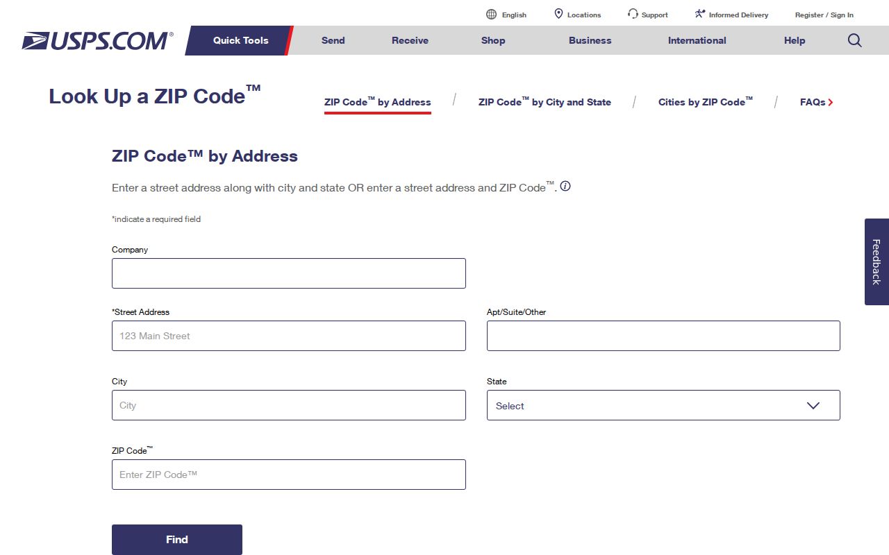
The form confirms postal delivery data before a name, parcel, or voter-file search is filtered.
Leon County Voter ZIP Fields
The public voter website is a self-lookup, not an open neighborhood browser. Broader data is obtained through the Leon County Elections records-request process, subject to Florida redactions and protected-address rules. Requests may be made online, by email, phone, mail, or in person. The office permits inspection and can quote fees when a request requires extensive staff or technology resources.
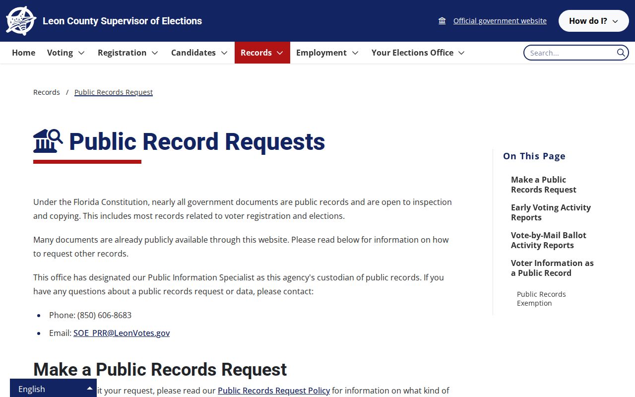
The request page explains the correct access channel when the identity-gated voter self-service page cannot answer a ZIP-wide question.
The Voter Data Guide documents VoterID, name parts, Formatted_Address, City_State, ZIP/Country, Residence_Address, precinct, political districts, status, registration date, and election-history fields. Formatted_Address can be the mailing address when one exists, so use Residence_Address for a block or residential ZIP study.
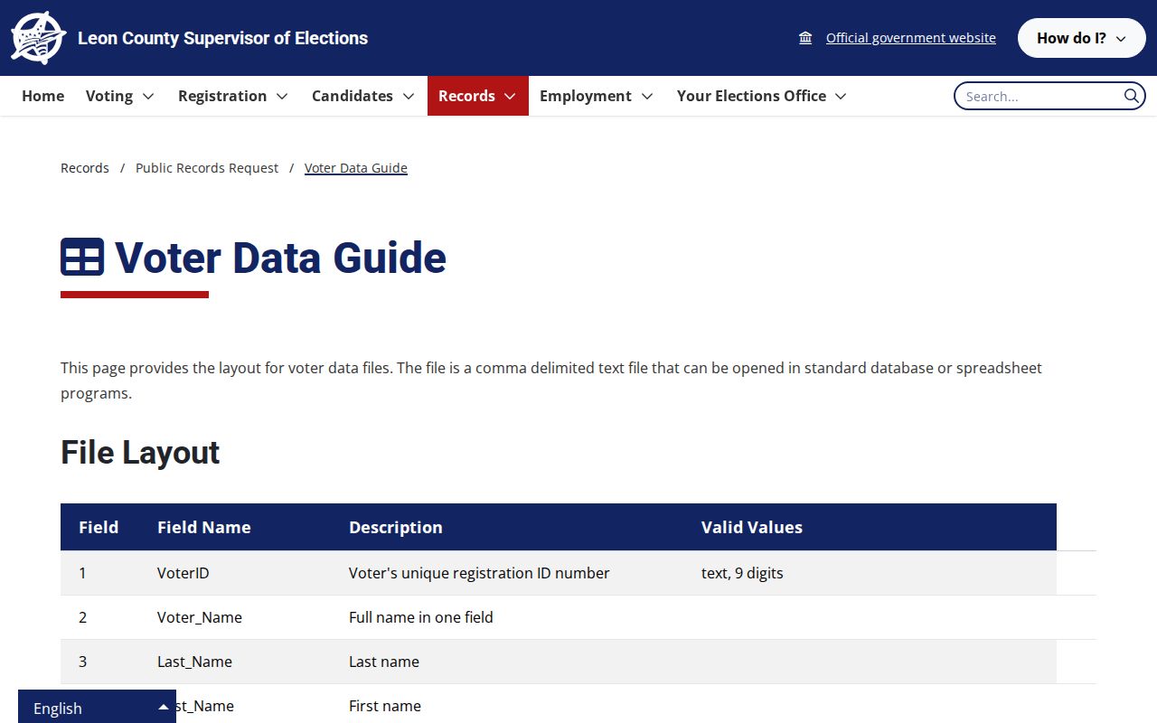
The data guide makes the distinction between mailing and residence fields visible and prevents a ZIP filter from being applied to the wrong column.
Leon ZIPs and Neighborhood Names
Neighborhood names add useful context, but they are not substitutes for a Leon County ZIP code. Greater Bond, Griffin Heights, Frenchtown, Providence, and South City are named local initiatives. Historic College Terrace, Southwood, Summerbrooke, and Preserve at Buck Lake are also documented organizations. Their community boundaries may cross postal, parcel, or planning lines.
The Open Neighborhoods map is the city source for mapped association profiles.
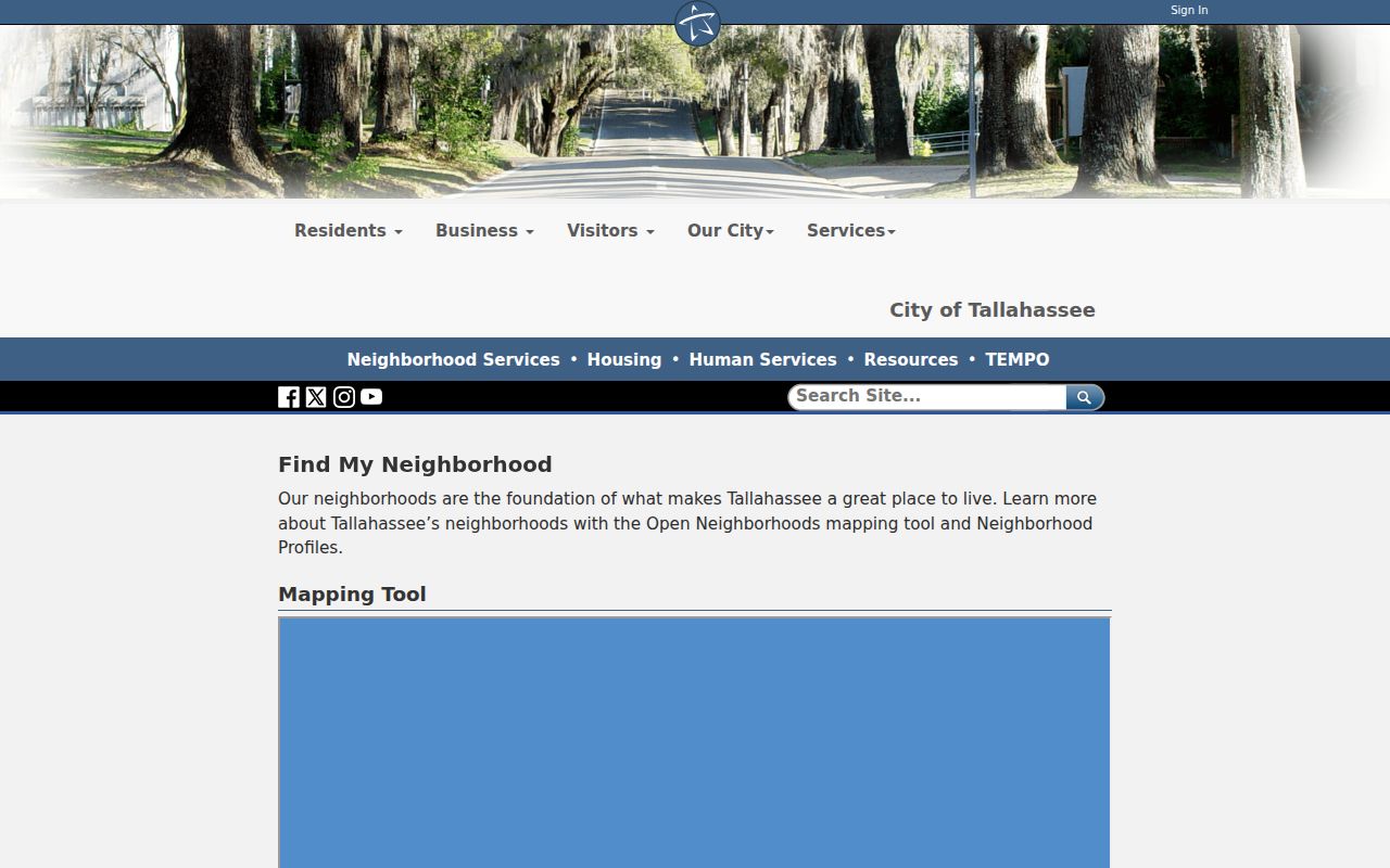
The map helps identify a community name after the postal code is known, while keeping association geography distinct from official delivery boundaries.
Frenchtown and Smokey Hollow also show why names carry history beyond mail routes. Frenchtown is among Florida's oldest historically Black neighborhoods. Smokey Hollow was a post-Civil War Black community reshaped by road and government redevelopment. A ZIP search alone cannot preserve that local context.
Leon County ZIPs Versus ZCTAs
Published population figures often use a Census ZIP Code Tabulation Area, or ZCTA. A ZCTA is a generalized statistical polygon built to approximate delivery-code areas. USPS ZIP codes route mail to delivery points. The two systems answer different questions, and neither should be treated as a parcel boundary.
The Census ZCTA explanation sets out that distinction.
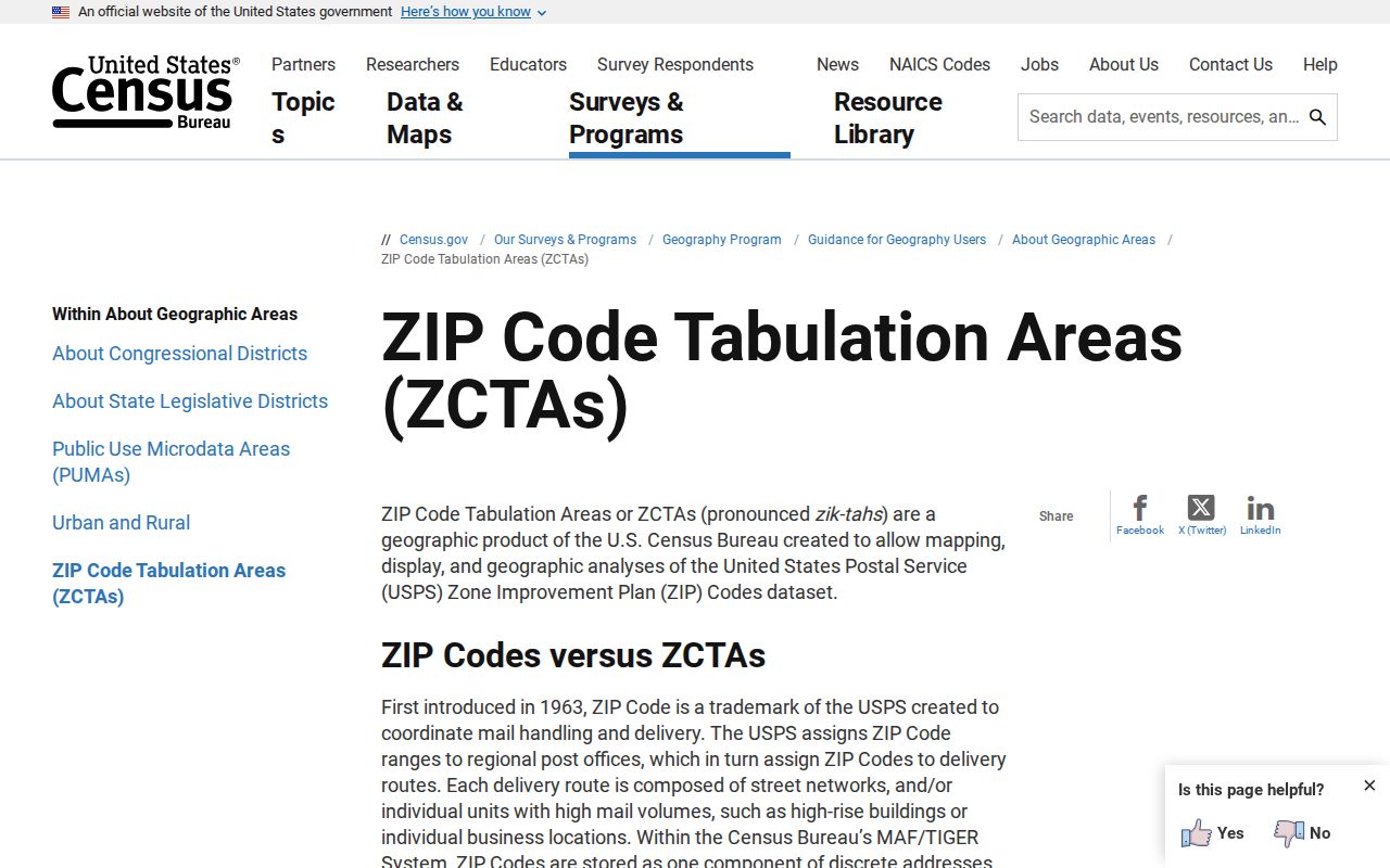
The Census guidance explains why an area statistic can be useful for Leon County planning without proving the ZIP assigned to one door.
Research found no current official county table listing every post-office station or every ZIP realignment year. Avoid attaching an unverified split date to a Leon County code. USPS exact-address verification, parcel geography, and ZCTA statistics should remain separate layers.
Leon ZIP Codes and City Limits
A Tallahassee delivery name does not prove that a parcel lies within incorporated Tallahassee. Codes such as 32303, 32305, 32309, 32310, 32312, and 32317 include unincorporated or fringe areas. The TLCGIS Property Information Sheet reports a City Limits field and is the local test for a parcel. This is the key myth to avoid when using any ZIP code directory.
Boundary check. Match the USPS delivery code to the TLCGIS city-limit field before describing an address as inside Tallahassee.
Several address terms help keep the layers straight:
- ZIP and ZIP+4
- A ZIP is the five-digit delivery code. ZIP+4 adds four digits that narrow the delivery segment.
- PO-box ZIP
- A code used mainly for mail collected from post-office boxes rather than normal neighborhood delivery.
- Unique ZIP
- A code assigned to a large institution or agency, such as a campus or state-government recipient.
- Carrier route
- The sequence of delivery points served by one postal route. It is more detailed than a five-digit ZIP.
Situs means the physical location of a parcel. The owner's mailing address is where tax mail goes and may be outside Leon County. A legal description ties title to surveyed land even if a street name changes. These fields explain why a name and postal code need parcel-level confirmation.