
Leon County Neighbor Record Sources
No single roll identifies all Leon County neighbors around a home. TLCGIS draws the immediate parcel pattern. The Property Appraiser identifies each parcel's owner and the address used for tax mail. Elections data can show registered voters at residence addresses after a proper public-records request. Tallahassee association resources list voluntary community contacts rather than households. Older directories and census schedules belong to historical block research.
| Leon source | Block-level evidence | How to access it |
|---|---|---|
| TLCGIS Land Information Map | Adjacent lot shapes, tax IDs, and spatial setting | Free interactive map |
| Leon Property Appraiser | Owner, situs, mailing address, legal description, and homestead field | Free owner, address, parcel, or subdivision search |
| Leon voter data | Registered voters and residence fields, with protected records removed | Request from Supervisor of Elections |
| Tallahassee association database | Voluntary association, officers, contact data, and boundary | Public city resource |
| Historical directories and census | Earlier household names and addresses | Library and archives access |
Ownership is not occupancy. The owner may get mail elsewhere, and a person living on the parcel may never appear on the deed. A homestead indicator can support owner occupancy, but it still does not name each member of a home. Likewise, voter data omits people who are not registered and suppresses protected addresses. Good block research records what each source proves without filling gaps by guesswork.
Click Around a Leon County Block
Use the Tallahassee-Leon County Land Information Map to start from one known site. Search the address or tax ID, select the parcel, and zoom until parcel lines can be read. Then click each polygon that touches the subject lot, including parcels at the rear. Save the tax ID for each result and open its property sheet. This map-based method is more reliable than assuming the next house number is physically next door.
- Locate the known address and select its parcel polygon.
- Zoom to the immediate block and note every touching polygon.
- Open the property sheet for each tax ID and record the owner and situs fields.
- Compare mailing addresses and homestead fields without treating them as a complete occupant list.
Corner lots, condominium parcels, and tracts with several street addresses make the geometry important. The underlying parcel layer can support spatial queries and has a 1,000-record maximum, but an ordinary neighbor search should remain focused on the immediate block.
For a whole road rather than nearby parcels, use the Leon County street directory workflow.
Leon County Neighbor Map Limits
Aerial imagery can clarify driveways, structures, tree cover, and the relation between lots. It cannot provide a survey or legal boundary opinion. Parcel lines are a record layer drawn over imagery, and their screen position should not settle a fence or ownership dispute. Use the legal description and recorded plat when exact title boundaries matter.
A parcel is a unit of land recorded for tax and legal purposes. Situs means its physical street address. A tax ID is the number that connects the map polygon to the property record. These terms keep a Leon County neighbors search tied to land records rather than house-number assumptions.
Leon County Neighbors in Voter Data
The Supervisor of Elections self-lookup is identity-gated and is not an open neighbor tool. Florida voter records may instead be requested through the Leon Elections public-record process. Available channels include online submission, email, phone, mail, and in-person inspection. Records are subject to exemptions, redactions, and fees when a request requires extensive resources.
The county's public request page shows the proper route for questions sent to the elections custodian.
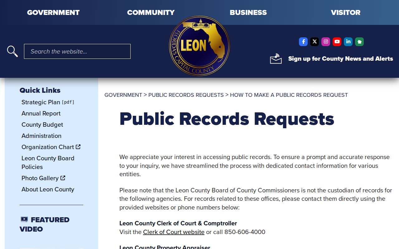
The page also warns that the Board of County Commissioners is not the custodian for independently elected offices, including Elections and the Property Appraiser.
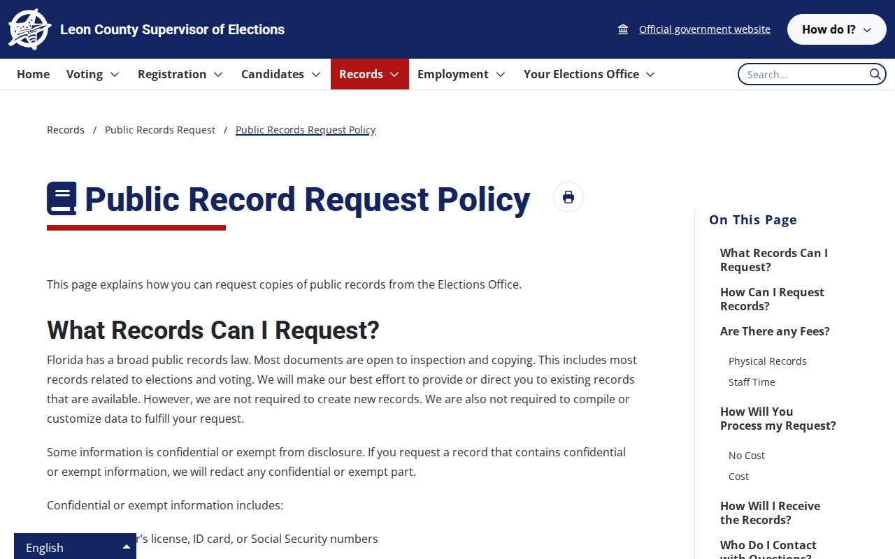
The Elections records policy explains disclosure, inspection, delivery, fees, and exemptions.
The documented voter file includes Residence_Address, ZIP, precinct, district, registration status, and election-history fields. Formatted_Address may instead be a mailing address, so it should not replace the residence field in block research.
Leon County Neighborhood Contacts
Tallahassee's association database provides a voluntary community layer. A registration may include an association name, current officers, mailing address, email, phone, and a boundary. It does not identify all Leon County neighbors or guarantee that every group is registered. Association geography can still help a newcomer learn which civic group serves a block.
Neighborhood First areas
Greater Bond, Griffin Heights, Frenchtown, Providence, and South City are named city initiatives.
Documented associations
Historic College Terrace, Southwood, Summerbrooke, and Preserve at Buck Lake appear in local research.
Neighborhood Affairs
City staff provide organizing resources and maintain voluntary association information.
The Tallahassee Neighborhood Resources page is the public contact and organizing hub.
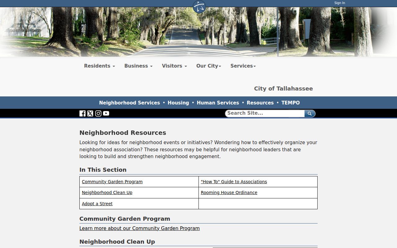
These resources connect a block to civic contacts without presenting an association list as a resident directory.
Leon Neighbor Boundaries Do Not Match
A Tallahassee mailing address can sit outside city limits. A ZIP may span several named communities, and an association boundary can cross postal or parcel lines. Planning districts, voting precincts, subdivisions, and legal descriptions add still more layers. TLCGIS reports City Limits on the parcel sheet, which is the local source for that question.
This matters in places such as Frenchtown, South City, Southwood, and the Buck Lake fringe. A community name can express history or civic identity without serving as a deed, ZIP, or municipal boundary. Keep the layers labeled when describing Leon County neighbors around one site.
Official Leon Neighbor Records Compared
Official rolls have a named custodian, a defined purpose, and a direct way to verify the result. Commercial neighbor tools may merge old addresses and copied files without showing when each source changed. They can also charge for data that is free from the custodian. The category can be a lead, but it should not be the final authority.
| Source type | Best use | Main limit |
|---|---|---|
| Official parcel and GIS records | Current ownership and adjacent lot geometry | Do not identify every occupant |
| Official voter data | Registered voters at disclosed residence addresses | Protected residents and nonvoters are absent |
| Voluntary association contacts | Community officers and civic boundaries | Not a household roster |
| Commercial compiled tools | Possible leads for further checking | May be stale, mixed, incomplete, or costly |
Verify each useful lead with the agency or community source that created it. Never turn a partial match into a claim about an entire household.
Leon County Owners Are Not Households
An assessor owner name or election-history field does not identify every person who lives at an address. This is the central myth in a Leon County neighbors search. A parcel may be owned by a business, estate, trust, or person whose tax mail goes elsewhere. Occupants may not own the site. Some residents are not registered to vote, and others have protected addresses.
Florida's Public Records Law governs access while many specific exemptions protect sensitive information.
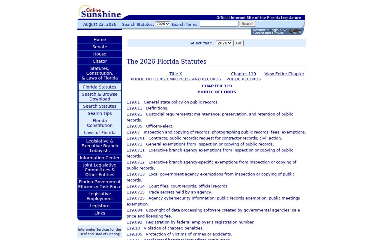
The statute is a reminder that public access and confidentiality rules work together. Utility, delivery, and driver-record customer data are not an open household directory.
Map Leon County Neighbor Parcels
After gathering tax IDs from the Land Information Map, open each record through the TLCGIS Property Information Sheet or the Property Appraiser. Compare site address, owner, mailing address, subdivision, legal description, and city-limit status. Sale book and page can bridge a parcel into the Clerk's deed index if ownership needs confirmation.
The concise process is: known address, parcel polygon, touching polygons, tax IDs, property sheets, then carefully labeled owner findings. Stop at the block edge. A larger street-wide project uses a different workflow and can obscure the immediate geographic question.
Recent aerial layers help interpret the scene, but parcel geometry remains the key. A corner lot can touch more parcels than its street number suggests. A condominium may place many units within one larger outline. Multi-address sites also require the parcel sheet rather than a visual guess.
Privacy Limits for Leon Neighbors
Public records do not make private conduct fair or lawful. Florida's Address Confidentiality Program can substitute a mailing address for eligible victims and household members. Separate statutory exemptions can shield the home information of covered officials, workers, victims, and family members. Court and official-record systems also provide routes to redact specified sensitive data from images.
Lawful use. Research Leon County neighbors for civic contact, reconnection, property context, or personal safety. Never watch, harass, threaten, or intimidate anyone.
If a person or address is absent, do not try to defeat a protected-address program or infer the location from family data. An official record can be incomplete by design. The safe response is to respect the omission and use only lawful, direct contact channels.