
Walk a Leon County Street
A sound Leon County street directory search treats the address as the starting point, not the answer. The Property Appraiser identifies the tax parcel and recorded owner. TLCGIS then fixes that parcel on the block. A deed confirms how the owner acquired the same legal tract, while voter data and older directories may provide separate evidence of residence. Each source has a different custodian and a different privacy line.
Keep the exact site address, tax ID, and legal description together. Those three details prevent a search from drifting to a similar house number or a different person with the same name.
- Enter the street address in the Leon County Property Appraiser search. Save the parcel ID, owner, situs address, mailing address, subdivision, and sales details.
- Open the tax ID in TLCGIS. Select the parcel and inspect the neighboring polygons instead of assuming that the next house number is the next lot.
- Use the current owner's name and the deed book, page, or instrument number in the Clerk's Official Records index. Match the legal description.
- Request existing voter data from Leon Elections when a lawful street-level inquiry needs public registration fields. The self-lookup is only for a voter's own record.
- For older occupants, pair a verified criss-cross directory with census, obituary, or deed evidence. One listing is a dated clue, not proof of a whole household.
That sequence makes the street-by-street search auditable. It also shows where an inference begins. Ownership, voter registration, and actual occupancy are not the same fact.
Search Leon County Property Fields
The Leon County Property Appraiser search accepts an address, parcel ID, owner name, or subdivision. For an address search, use street text without city, state, or ZIP. Owner names use “Last First” without a comma. All basic fields are optional, and the expanded controls can narrow a broad street directory result.
| Search control | Input | Leon County detail |
|---|---|---|
| Address | Autocomplete text | Street only, without city, state, or ZIP |
| Parcel ID | Up to 13 characters | Direct bridge to GIS and permit files |
| Owner Name | Person or business | Last First, no comma, or a business name |
| Subdivision | Name | Narrows records to a recorded development |
| More Options | Filters | Category, use, ZIP, tax district, homestead, pool, size, year, acreage |
Results identify the parcel, owners, and address, with detail and map controls. Export Results and Mailing List tools exist for legitimate record analysis. A property category or homestead filter can reduce noise, but neither reveals every resident.
The Property Appraiser entry page shows the official starting point for Leon County address records.
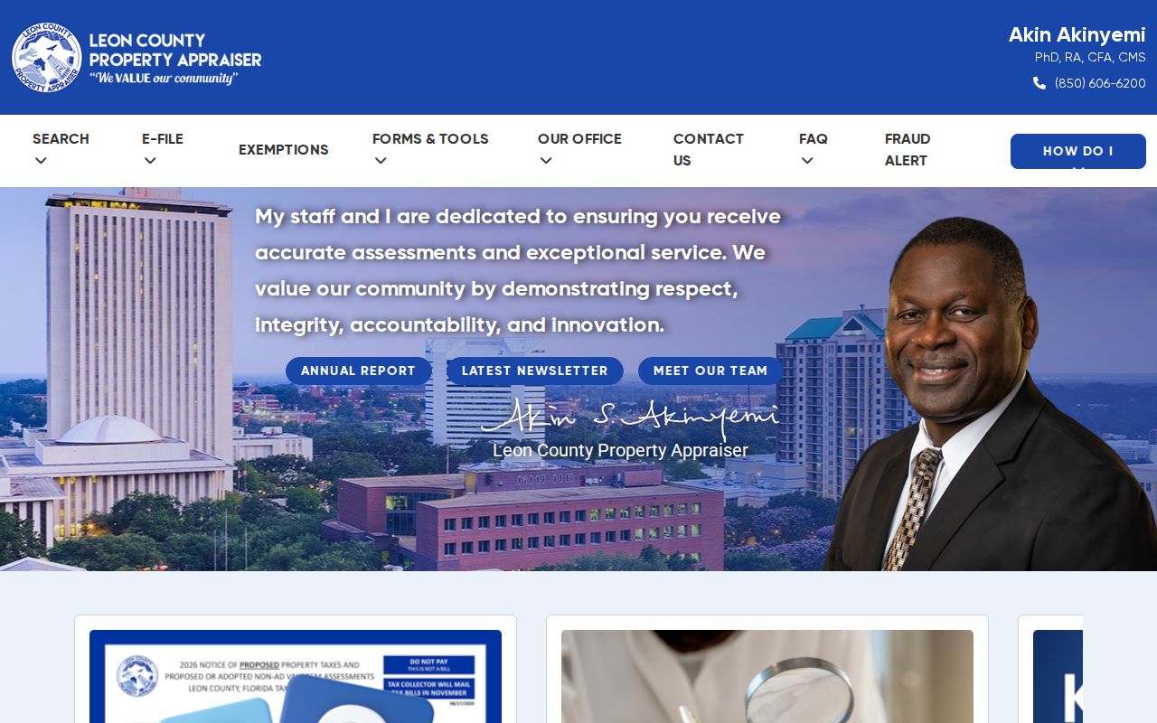
The captured page helps distinguish the official county assessment source from a compiled commercial directory.
Map Leon County Street Parcels
The Tallahassee-Leon County Land Information Map supplies the spatial half of a by-address search. Search one parcel, zoom until parcel lines appear, then click the polygons on either side and across the road. Corner lots, condominiums, and multi-address tracts can defeat a simple house-number sequence. Geometry gives a clearer answer.
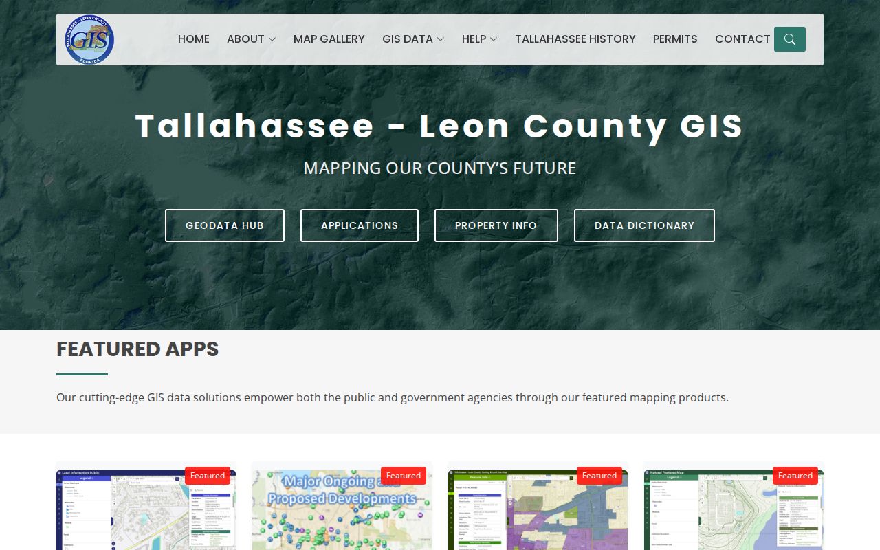
The map view turns one street address into a set of adjacent tax IDs that can be checked one at a time.
The joint GIS was formed by Leon County, Tallahassee, and the Property Appraiser in 1990. Parcel services expose owner fields, tax ID, block and lot labels, acreage, and support spatial or distance queries. The Property Information Sheet adds city limits, zoning, future land use, and planning overlays. These are reference layers, not a survey or title opinion.
The county GIS information page explains the official city-county program and its map products.
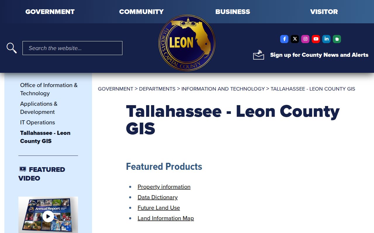
This official program page confirms which local agencies maintain the mapping source used for the street directory chain.
Read Leon County Property Sheets
The TLCGIS Property Information Sheet accepts an address or tax ID. It joins the Property ID, mailing address, subdivision, tax district, market and taxable values, site address, city-limit status, zoning, future land use, and overlay fields. It also links to property tax information.
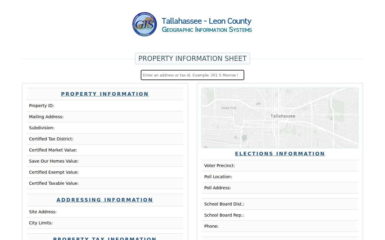
The joined sheet keeps the address, parcel, tax, and planning references in one place before the search moves to deeds.
- Parcel
- A mapped tract with its own tax identifier.
- Situs address
- The physical site address, which may differ from the owner's mailing address.
- Plat
- A recorded map showing lots, blocks, streets, and other subdivision details.
- Criss-cross directory
- A directory arranged by address or street, often used to identify a past listed occupant.
An official GIS sample makes the mailing-versus-situs distinction plain. A commercial parcel on North Monroe Street listed an out-of-state owner mailing box but a Leon County site. Its recorded sale book and page connected the map result to the Clerk. The example is public parcel data, not a residence claim.
Leon County Street Record Coverage
No one record set functions as a complete Leon County street directory. The best match depends on whether the question concerns a parcel, an owner, a registered voter, a building change, or an occupant from an earlier year.
| Address-keyed source | Custodian | Street evidence | Access route |
|---|---|---|---|
| Property roll | Property Appraiser | Owner, mailing and situs addresses, values, sales | Free web search |
| Parcel map | TLCGIS | Boundaries, adjacent parcels, city limits, zoning | Free map and property sheet |
| Recorded deeds | Leon Clerk | Transaction parties and legal description | Free index; paid copies if needed |
| Voter file | Supervisor of Elections | Public registration residence fields | Records request with protected data removed |
| Permit and code files | City Growth Management or county custodian | Work, applicant, owner, inspection, and case dates | Department request |
| Historic directory | Library or archive | Dated listed occupant by street or address | Shelf, microfilm, catalog, or research room |
The parcel number ties the roll to GIS and permits. The legal description and current owner connect that parcel to a deed. Street and ZIP fields can organize existing voter data, subject to Florida exemptions.
Carry Leon Tax IDs to Deeds
The Leon Clerk's deed index has no street-address box. That is a useful quirk. Start with the current owner's name and acquisition details from the parcel page, then search Leon Official Records by grantor or grantee. A grantor transfers an interest; a grantee receives it. Confirm the same lot, block, or other legal description before treating a result as the right property.
| Clerk field | How it helps |
|---|---|
| Party name / grantor | Finds documents under a seller or other transferring party |
| Grantee | Finds an owner's earlier acquisition |
| Document type | Narrows deeds, mortgages, liens, judgments, plats, and other instruments |
| Date range | Controls common-name results |
| Book and page | Retrieves an older recorded reference |
| Document number | Retrieves a newer instrument directly |
The web validation boundary begins January 1, 1945 for Official Records, Deed, and Mortgage books. Surviving deeds reach 1825, so older work continues through Clerk books and State Archives microfilm. Copies cost $1 per page, and certification adds $2 per document. Index searching itself is free.
Note: A deed proves a recorded transfer involving named parties; it does not list every person who occupied the property.
Request Leon County Permit Evidence
Within Tallahassee, the Growth Management records request covers building construction and land-use or environmental documents. Provide the full situs address, the 13-digit tax ID when known, a record type or permit number, and a date span. Digital records are sent by email or file-sharing service. The city states a response can be expected within three business days, with exemptions or charges disclosed.
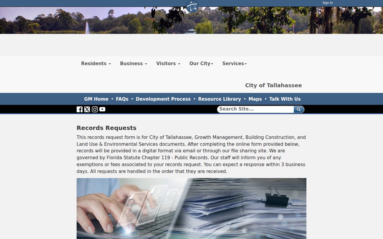
The form illustrates why a parcel ID improves an address request, especially for a corner lot or property with several street numbers.
Permit files may identify an owner, applicant, contractor, inspection event, and completion date. Code notices often repeat the owner and tax ID from the Property Appraiser. Neither source is an occupant roll. The Growth Management request is also not a citywide search or an official lien search. A broad lien search covers a different set of city charges and unresolved matters.
Request Leon Voters by Street
The public Check Your Voter Info service is identity-gated self-service. It is not an open block browser. A lawful Leon County street directory project instead requests an existing voter-data file from the Supervisor of Elections and works only with fields the office may release.
The documented CSV includes residence and formatted mailing addresses, ZIP, voter status, precinct and districts, plus election participation history. Participation states that a person took part and may note the method, never the ballot choice. Social Security numbers, driver-license or state-ID data, preregistrants, registration source, and protected addresses are withheld under Florida law.
Requests can be made online, by email, phone, fax, mail, or in person. Electronic files are delivered by link. Paper costs $0.10 per page, while media, postage, or extensive labor may be quoted. The office need not create or customize a new data set.
Bridge Leon County Address Changes
Street names and numbers are labels. The legal description is the durable key. Leon research did not verify an authoritative countywide street-renumbering year, so a street directory search should never invent one or assume that an old number maps neatly to a modern site.
Use the lot, block, subdivision, or section-township-range description from the parcel and deed. Historical Sanborn maps can show whether a building footprint existed and how a street was then labeled. Directories and public census schedules can add a dated occupant. Leon's public-land geography has an unusually local anchor: Tallahassee's 1824 Prime Meridian Marker is the initial point for Florida public-land surveys and the original southeast corner of the city.
For deep historical work, the State Archives in Tallahassee holds Second Circuit deed microfilm from 1825 through 1942. That archive is the fallback when an address predates the searchable Clerk boundary.
Read Old Leon Streets Carefully
A criss-cross volume can place a listed person at an address in one publication year. It may omit a household, use an old street label, or lag behind a move. Pair the entry with census, obituary, deed, or map evidence. The full local shelf and its publisher runs belong on the Leon County city directory collections page; the street method needs only the volume closest to the date being tested.
For past owners, follow the deed chain. For past occupants, compare the address section, name section, census schedule, and public death or probate clues. Do not treat a telephone book entry as a title record or an assessor owner as a full household list.
Limits of Leon Street Directories
A Leon County street directory cannot identify every person inside a house. The property roll lists owners, not all occupants. Voter data excludes nonvoters and suppresses protected people. A historic directory includes only the people and addresses its publisher gathered. Utility, delivery, and driver records are not open household lists.
A Tallahassee postal address also does not prove a parcel is inside city limits. Check the TLCGIS City Limits field before routing a permit request. Send county records to the precise custodian because the Board of County Commissioners does not hold Clerk, Property Appraiser, Sheriff, Elections, Tax Collector, or School Board files.
Lawful use. Use Leon County address records only for lawful personal research. Never use a street or parcel search to stalk, harass, intimidate, or harm anyone.
Official sources beat compiled commercial neighbor tools for traceability. A county record shows its custodian and date; a compiled result may merge people or repeat an old address without showing the source.